


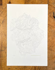
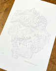
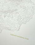
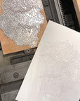
Yosemite National Park Topographic Map Letterpress Print
Topographic map print of Yosemite National Park in California hand pressed on an antique letterpress machine.
Yosemite was the third national park to be established and the first I remember visiting at 5 years old on my first trip to the US. Yosemite National Park covers almost 1,200 square miles in California but most visitors spend their visit within the 7.5 mile length of the valley. But when you consider what's packed into that space you really can't blame them, there's the granite cliffs of El Capitan and Half Dome, the highest waterfall in North America, beautifully clear streams, giant sequoia's and more.
Perfect wall art for map lovers, fans of the outdoors, and National Park enthusiasts. A great way to remember home, if you're from the area, or a vacation.