


SKU: PR019
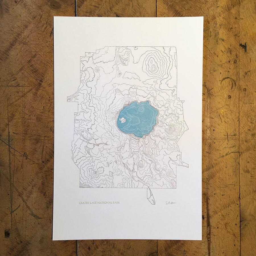
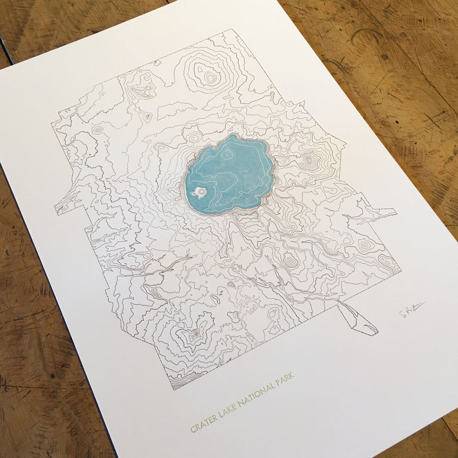
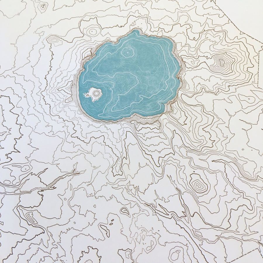
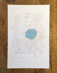
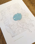
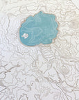
Crater Lake National Park Topographic Map Letterpress Print
$ 50.00
Topographic map print of Crater Lake, Oregon's only National Park, hand pressed on an antique letterpress machine.
Crater Lake, which fills a caldera created thousands of years ago by the collapse of Mount Mazama, is the deepest lake in the US with a depth of 1,949 ft. Established as a US National Park in 1902 it is the 5th oldest and the only one in Oregon. Crater Lake is unusual in that it has no rivers flowing in or out of it and so the water lost to evaporation and ground seepage is replenished purely through rain and snowfall.
Perfect wall art for map lovers, fans of the outdoors, and National Park enthusiasts. A great way to remember home or a vacation in Oregon.