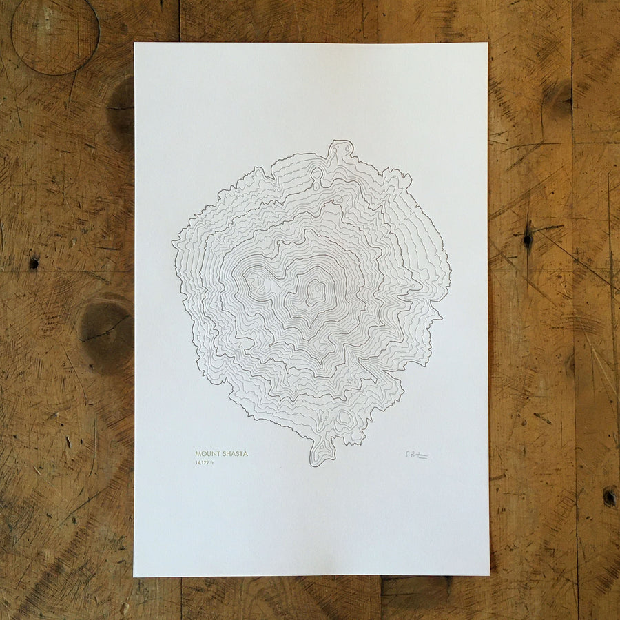
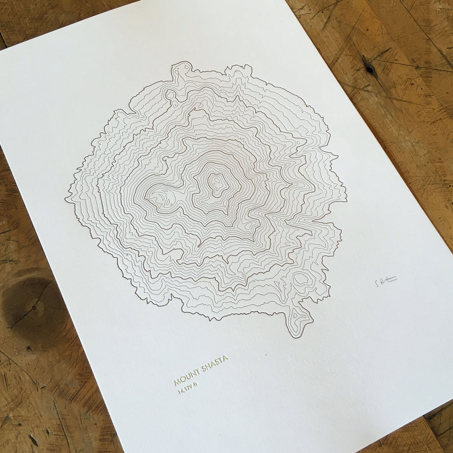
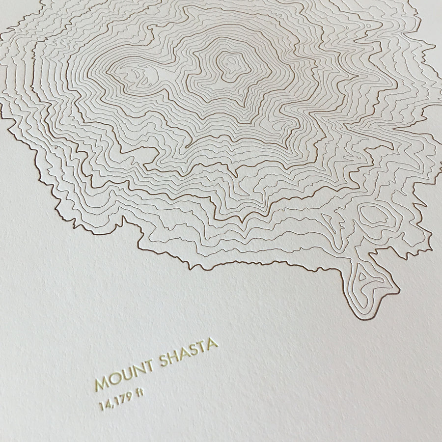
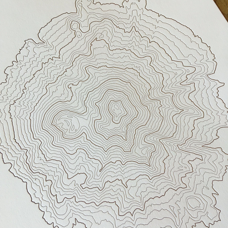
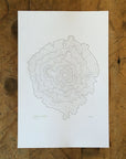
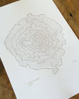
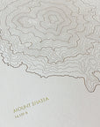
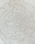
Item is in stockOnly 0 left in stockItem is out of stockItem is unavailable
Topographic map print of Mount Shasta in Northern California hand pressed on an antique letterpress machine.
Mt Shasta is located at the southern end of the Cascade range and, with an elevation of 14,179 ft, it's a prominent landmark that can be seen from over 100 miles away on a clear day. The first recorded ascent dates to 1854 and it remains a challenging climb in the summer and is popular with back country skiers in the winter.
Perfect wall art for map lovers and fans of the outdoors, and a great way to remember home or a vacation in Northern California.
Size: 12" x 18"
Paper: 100% cotton paper
Printing: letterpress (topographic lines from magnesium plates and text from handset metal type)
Ink colours: brown lines and light green text
Packaging: clear protective sleeve with backer board shipped in a rigid mailer
You might also like
Holiday Shipping
For delivery by Dec 24th (within the US) order by:
Sunday, December 14th - Standard Shipping Tuesday, December 16th - Priority Shipping
*Please note this guarantees that I will get them delivered to USPS with time to arrive by Dec 24th but I cannot be held responsible for any shipping delays once they are out of my hands, if in doubt order early and/or upgrade your shipping during checkout.